About Lansdowne
Lansdowne is a rural village on the Mid North Coast near Taree. It lies in the Lansdowne River valley, next to the Coorabakh National Park and the village of Langley Vale, which was served by the Langley Vale Timber Tramway from 1897 to 1933, and near Coopernook and the Lansdowne State Forests. It is the gateway to the Manning River Valley’s northern hinterland.
The first settler was Benjamin Saville (1814–1896), who bought 50 acres on the northern bank of the Lansdowne River in 1848. In March 2008 the 14-hectare Lansdowne Nature Reserve was established along the river.
Where is Lansdowne?
Lansdowne is in the MidCoast Council area on the Mid North Coast of New South Wales.
Nearby towns with hubs on OurHub, with straight-line distances: Coopernook (9 km south-east), Moorland (11 km east), Cundletown (13 km south), Taree (16 km south-west).
What the Lansdowne directory lists
Shops and services: Lansdowne Post Office. Parks, beaches and recreation: Lansdowne Recreation Reserve.
Schools and learning: Lansdowne Community Hall School of Arts, Lansdowne Public School. Emergency services: Lansdown Rural Fire Brigade.
Get in touch
A question, something out of date, a group to link, or the keys to this hub: send it here and someone at OurHub will get back to you.
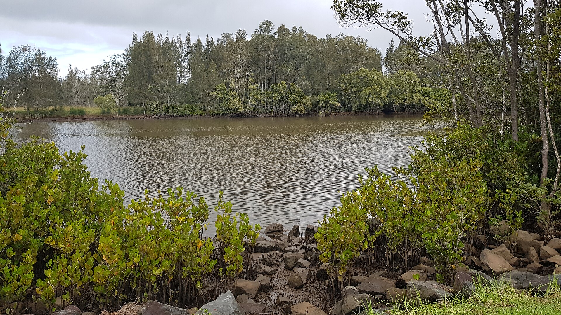
Photo: “Lansdowne River 2023” by Neegzistuoja (CC BY-SA 4.0), via Wikimedia Commons. It shows The Lansdowne River, not Lansdowne itself. Town facts: Wikipedia (CC BY-SA 4.0), which cites the Australian Bureau of Statistics census. Straight-line distances are worked out from the hub’s coordinates. Directory locations © OpenStreetMap contributors (ODbL).